|
Bob Cunnings NW8L

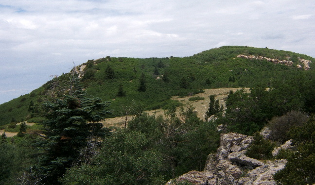
This year I returned to South Sandia Peak in the Sandia Wilderness Area,
overlooking Albuquerque, NM. The location was atop the long north/south
ridge a few hundred yards south of the summit, at approx. 9600 ft.
elevation. This is a nice location, with the terrain dropping off
sharply to the east and west, but requires a good 4 hour hike to reach.
The weather was warm and humid and thunderstorms were expected.

The antenna was a combination 40m dipole/20m "coupled resonator"
made from 450 ohm window line, supported by two telescoping fiberglass
poles. It was fed with a 300 ohm balanced feedline. The "shack" was in a
nice sheltered depression in the limestone just below the ridgeline to
the west, with a tarp providing shade. I used my 20/30/40 KX1 with
autotuner. It was powered from a pack of 8 AA cells, putting out at best
3 watts on 20m.

I managed a total of 24 qso's - 18 BB and 6 home stations, all on
20 meters. After 2 hours of operation a clap of thunder overhead
informed me that thunderstorms had formed over the mountain, and so I
had to pack everything back up and retreat from the ridge. Fortunately
the rain held off until I had started back down. The return hike wasn't
bad, with only light showers on and off. Thanks to all for another great
FOBB, I know some of you had to work hard to copy my weak signal.
|
| 
|
|
I was glad to drop the pack when I got to the top,
there's a lot of water inside.
|
| 
|
|
The KX1 was connected to the AA battery pack, running iperhaps 3 watts
out. I use a little self-powered speaker that plugs right in to the
headphone jack.
|
| 
|
| I divided the 32 ft. telescoping fiberglass pole into two 16 foot sections.
|
| 
|
|
The shack is set up under a Noah's Tarp in a notch in the limestone.
|
| 
|
|
Looking North along the ridge South Sandia Peak is seen not far away.
|
| 
|
|
Looking south, the Manzano mountains are seen in the distance.
|
| 
|
|
To the Northwest is Cabezon, a volcanic plug, looming on the horizon.
The ghost town of Cabezon is in that vicinity along the Rio Puerco.

I've discovered more of those mysterious "medallions" on trees
along the CCC and South Crest trails. Here's the Massachusetts Colony tree...
|
| 
|
|
|
| 
|
| Looking at the medallion we see that the germination date is 1629!
|
| 
|
|
This is the Huygens Manometer Tree...
|
| 
|
|
Looking at the medallion we see a germination date of 1661. The
rumor is that these dates were obtained by taking a core from the tree
and counting rings, so perhaps "TB" means "tree bore"?
|
| 
|
|
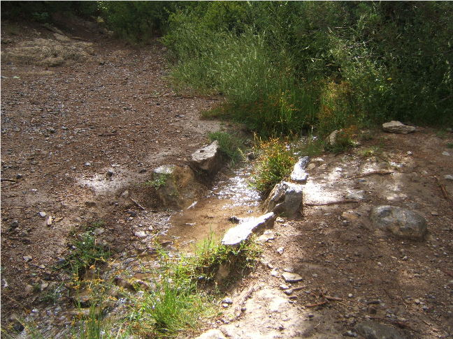
It's been a very dry year and the spring along the South Crest
trail is barely running. Here's where the stream it feeds crosses the trail...
|
| 
|
|
...then it runs over to the top of the waterfall...
|
| 
|
|
...and as you can see the waterfall is down to a trickle this summer.
Let's hope for rain, and I'll see you next year, perhaps with an Elecraft KX3!
|


