SOTA Activation of Mt Cobaw
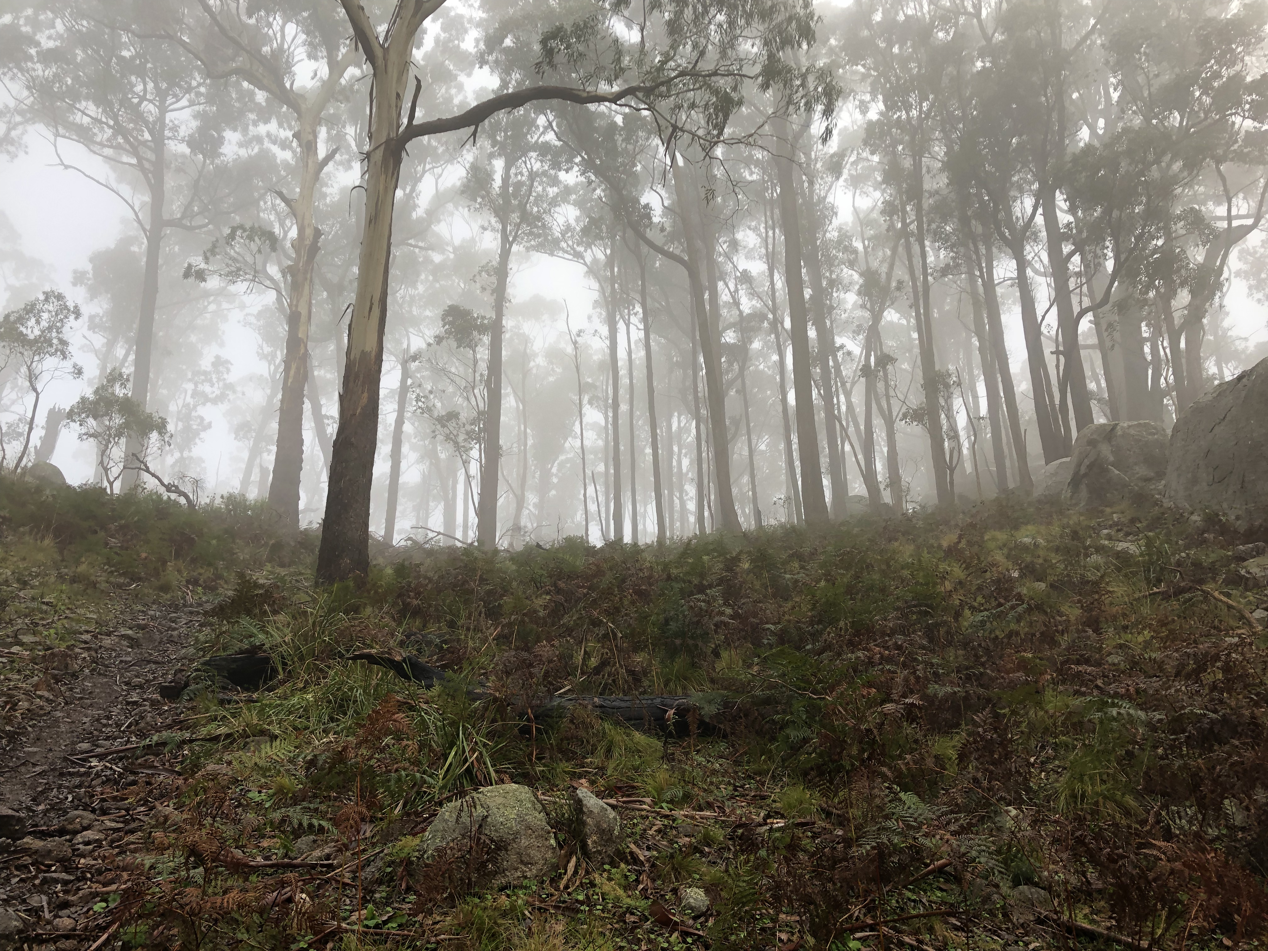
Foggy views typical of the day. This is a shot from the final approach to the summit.
Short activation report on a single summit, Mt Cobaw, within the Macedon Ranges in Victoria.
Summit Map
Mt Cobaw (VK3/VC-015)
Mt Cobaw is a 770m, 4 point peak north of Lancefield in the Macedon Ranges. I have previously activated Mt Cobaw on 9 June 2020, and 30 October 2021.
Mt Cobaw is one of my more favoured summits to activate, and I look forward to doing it each time I have an opportunity. It is a straightforward hike that is over a little too quickly for my liking, but is easily accessed from Melbourne and doesn’t involve the repetitive, dull drive towards Healesville that so often comes with the SOTA hobby in Victoria if you’re chasing day-trip activations like those I often undertake.
I had an event scheduled for 5pm in Romsey that day, so decided to make an afternoon activation of this nearby summit. This is my activation report.
The Hike
Overview
The weather forecast for the day called for showers and eventuated in hail. We arrived around 3pm local time, and waited until around 3:30pm for the rain to stop. Setting off around 3:35pm, we arrived at the summit around 4pm and were set up and calling CQ around 4:05pm. So, expect around an easy 30 minute walk — we certainly did not hurry. Elevation gained is around 100m and it is not particularly difficult terrain, although can be quite slippery (mud and some rock) and requires sturdy waterproof boots in wet conditions.
Getting Going
The starting point for the hike can be hard to identify. From Ridge Road, off the Burke and Wills Track, it is most easily identified by a single council-fence type creation commonly seen around Victorian parks, shown below:
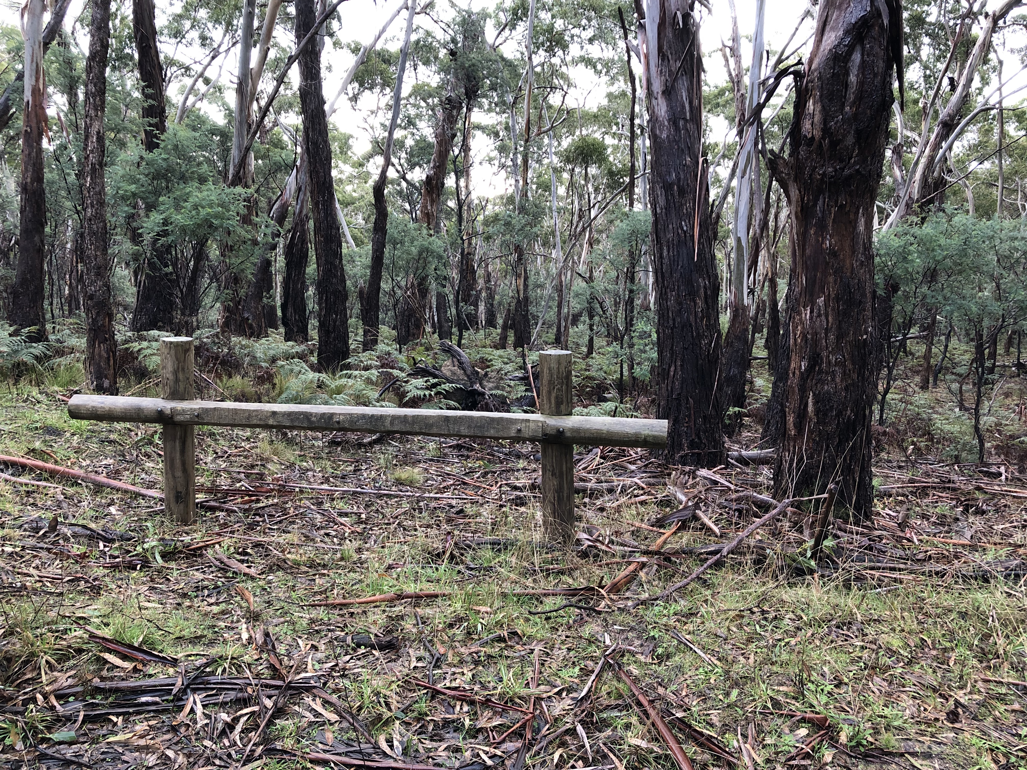
Marker for the starting point of the walk (where to park your car).
There aren’t any more of these that I’ve seen coming from Burke and Wills Track, so it’s a sure sign that you’re at the right place.
On the other side of the road is the start of the track. It is hard to spot unless you are looking for it; if you are driving by in a car (and not looking for the fence structure) it is easy to miss.
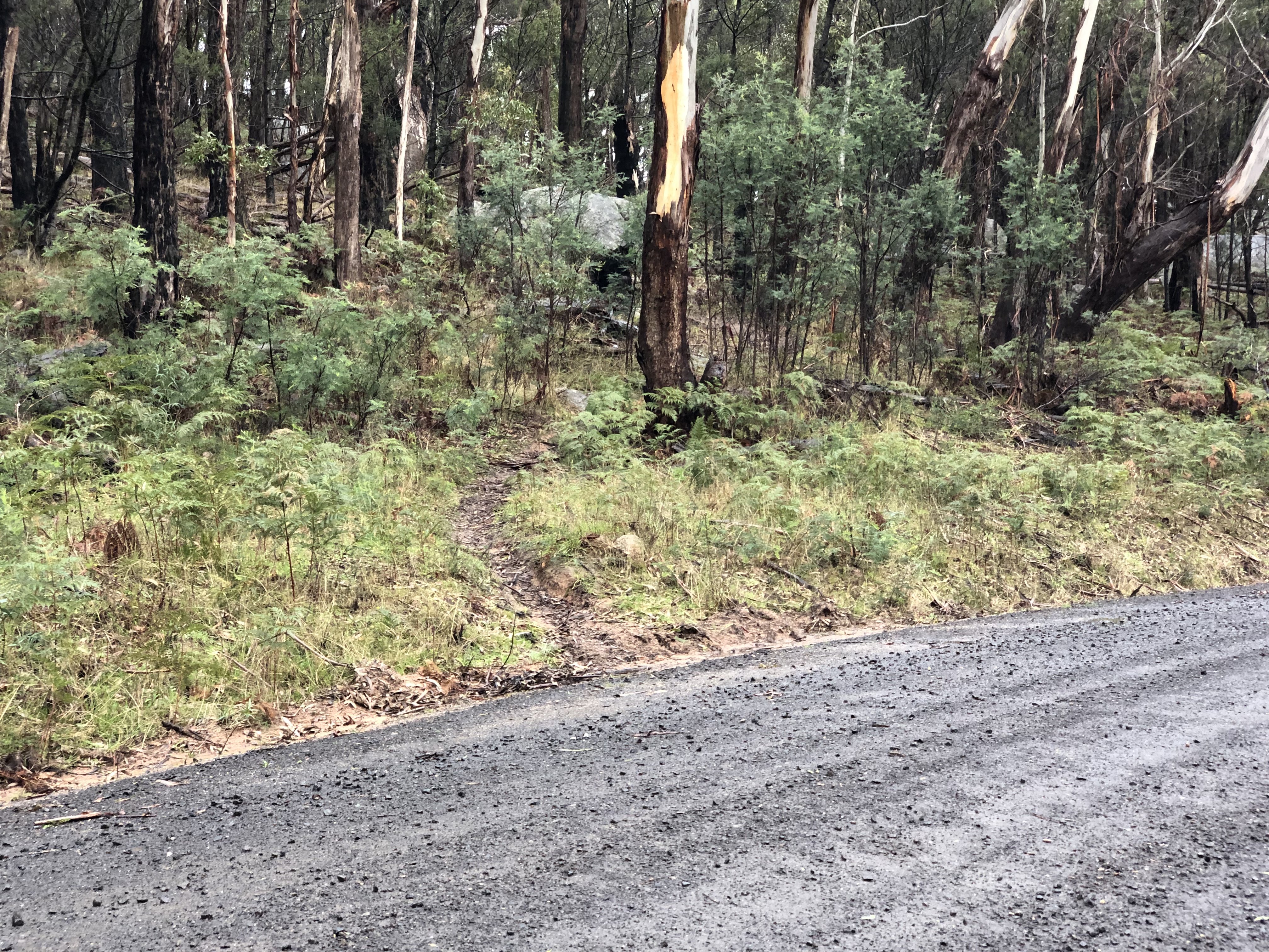
Start of hike.
The path itself seems to be an old mountain bike track. It is clearly now only passable by walkers due to a number of fallen trees which have not been cleared in some time. Some pictures follow to illustrate what the track is like.
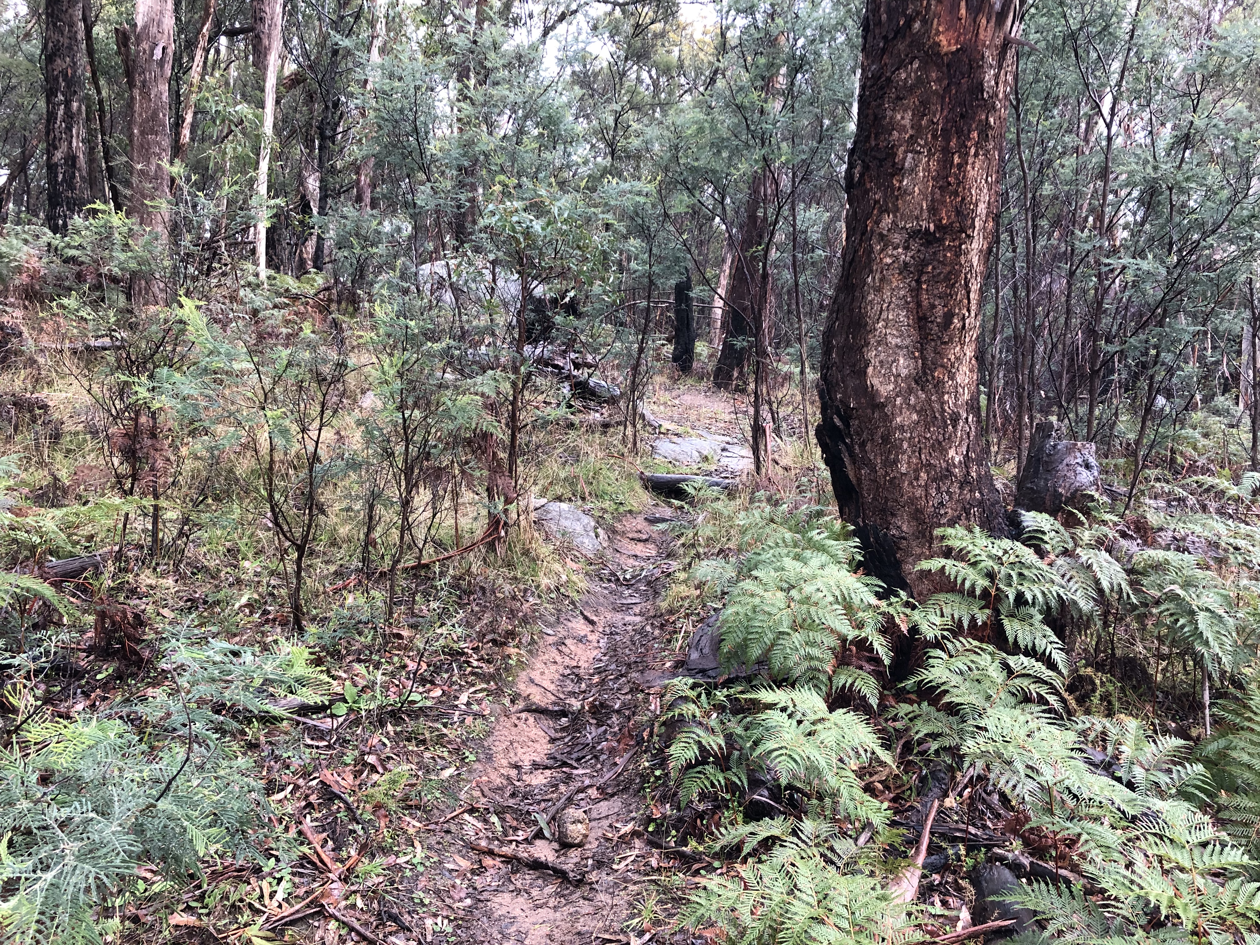
Typical track conditions.
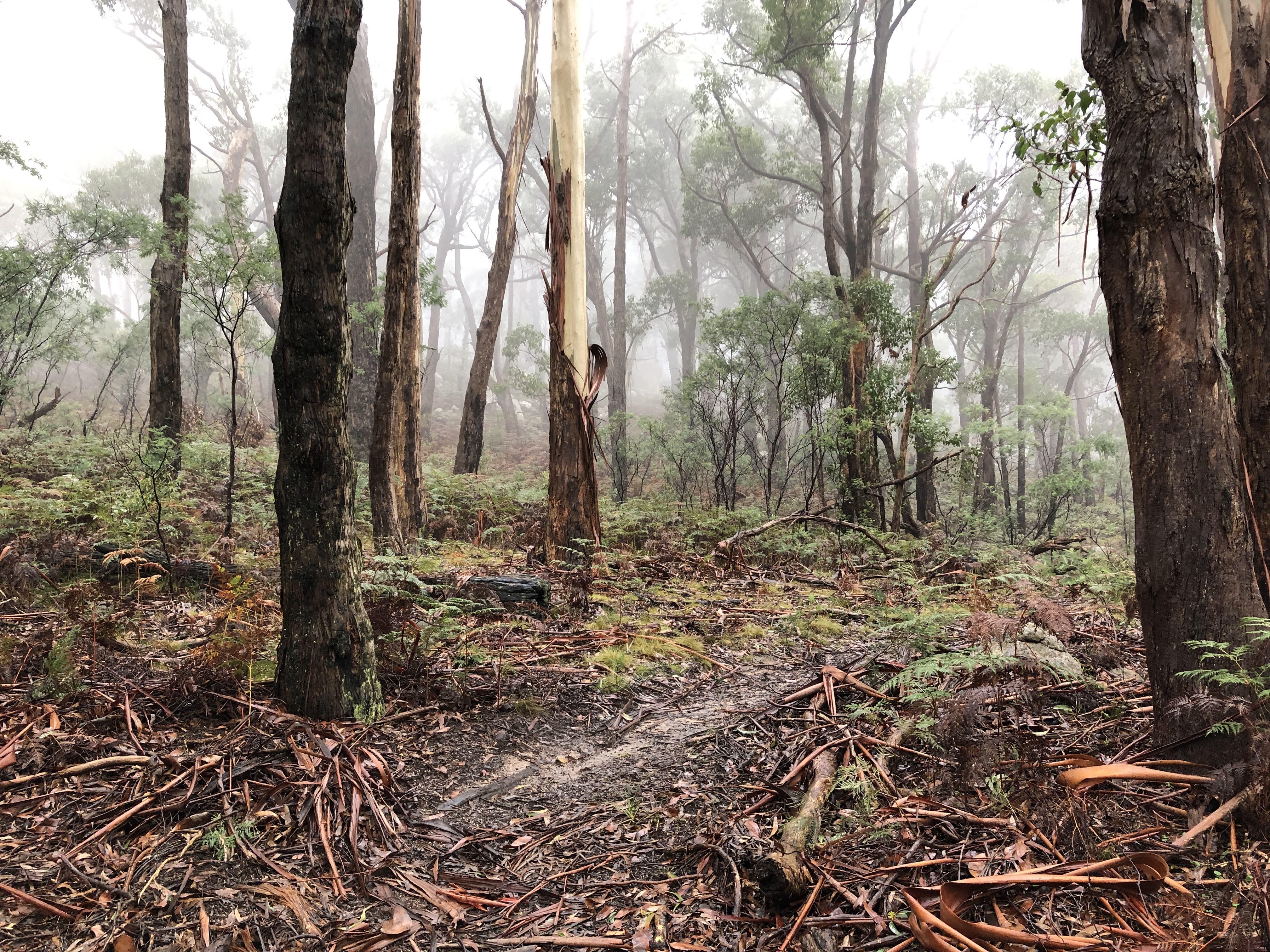
Lots of loose and wet material along the track.
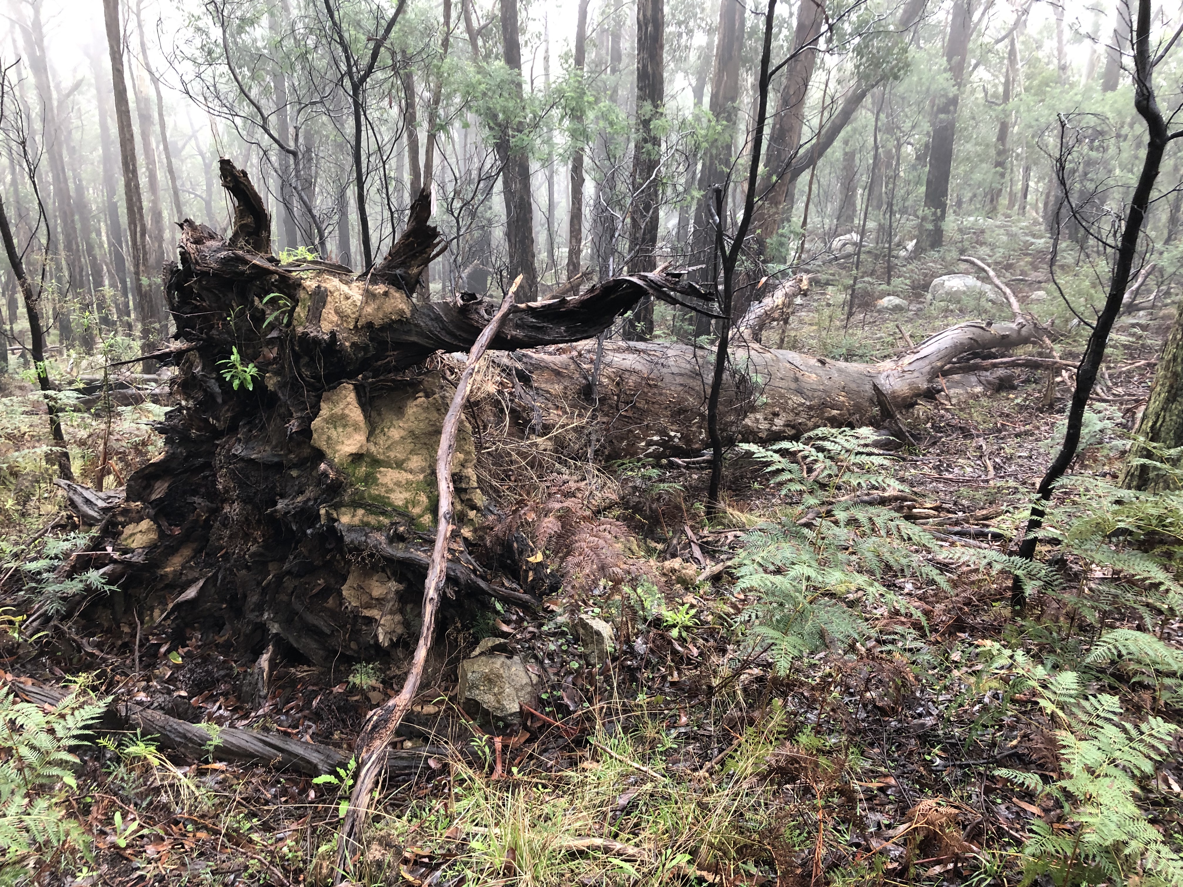
Although there were many fallen items, luckily there were not many significant obstacles on the path.
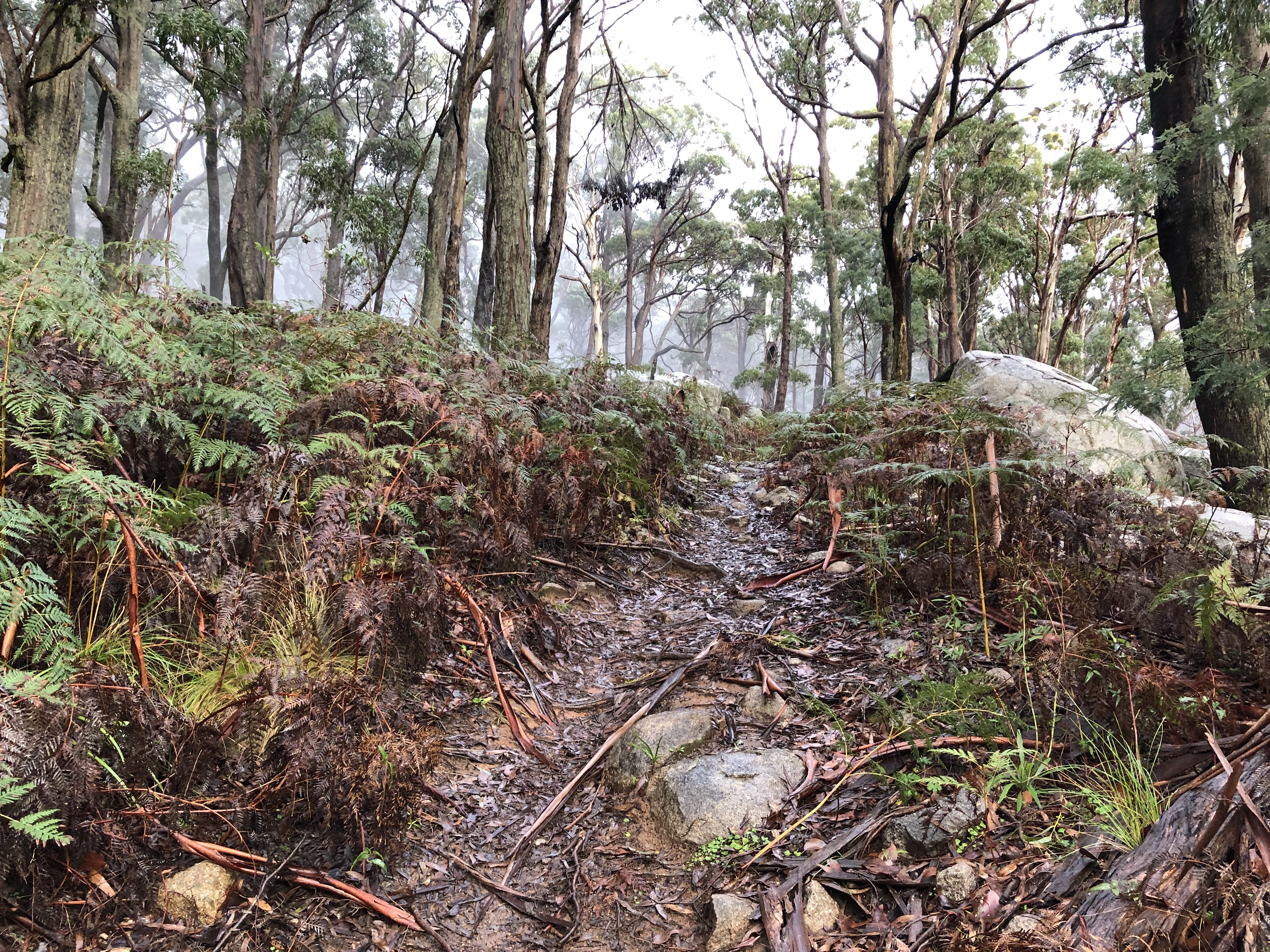
Track conditions were particularly rocky and slippery in some places.
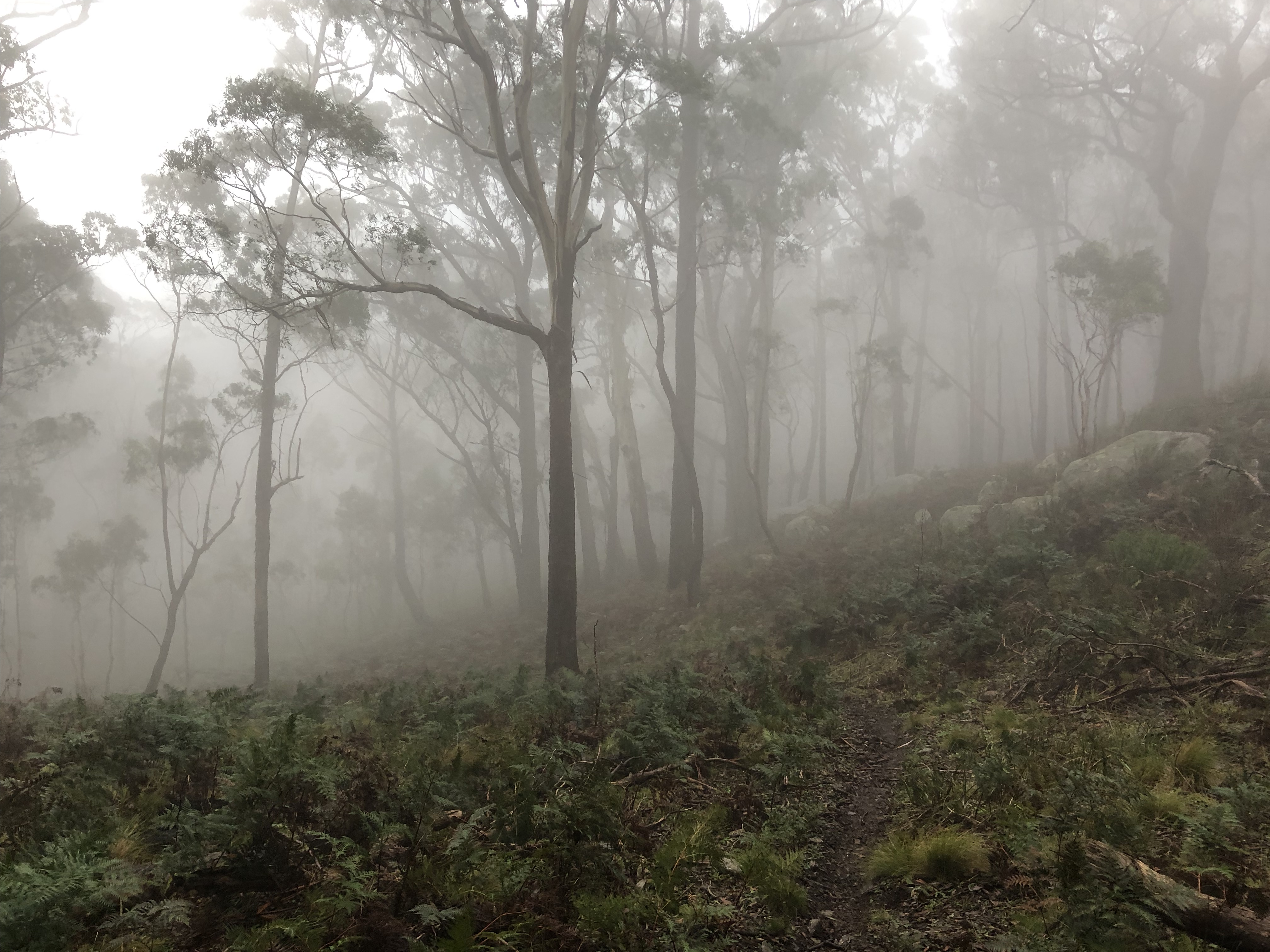
Conditions on the day were at time often quite foggy.
Contacts
Being approximately 5ºC at the top, I was well-motivated to get my contacts early and in quick succession. The wind was particularly noisy and I was not able yell and be heard any more than about 20m away. I had to turn the radio speaker up quite high just to be able to hear the usual HF hiss. Fortunately the bands, while not particularly accomodating, held up sufficiently to support my quest for the 4 points on the day.
I was particularly pleased to be told that I was VK1SMC Sean’s first HF contact. Get to get you in the log, Sean!
| Time (UTC) | Callsign | Frequency (MHz) | Mode | Sent | Received | Notes |
|---|---|---|---|---|---|---|
| 06:09 | VK3LF | 7MHz | SSB | 5x3s | 3x1r | |
| 06:11 | VK5PAS | 7MHz | SSB | 5x9s | 5x7r | |
| 06:12 | VK3PF | 7MHz | SSB | 5x9s | 5x9r | |
| 06:13 | VK2IO | 7MHz | SSB | 5x7s | 4x2r | |
| 06:14 | VK1SMC | 7MHz | SSB | 5x5s | 4x5r | Operator’s first HF contact! |
As always, my thanks to all chasers.
Summit Notes
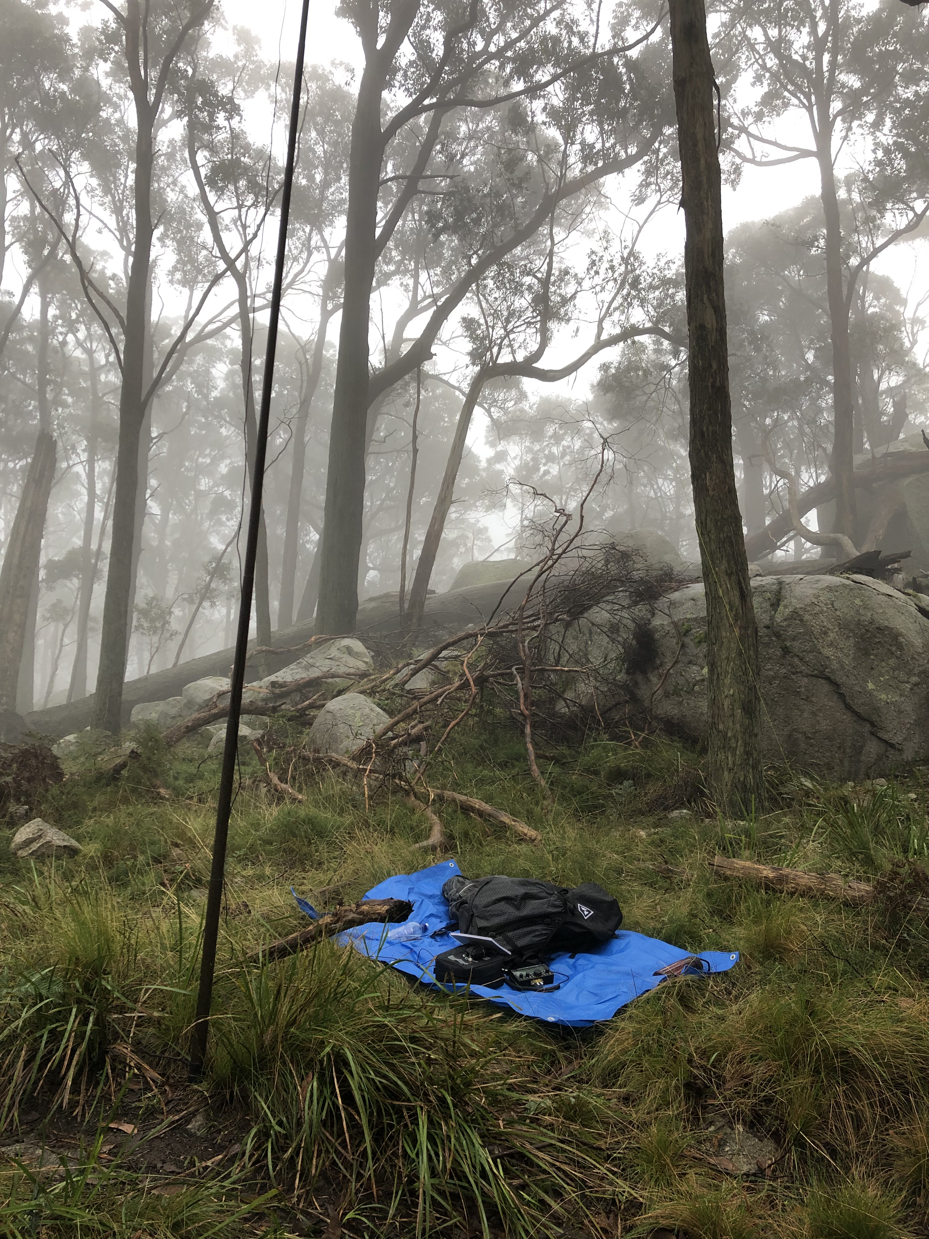
Conditions were at time often quite foggy.
I set up a little down from the summit as the wind was incredibly strong. The boulders near the summit provided a wind block, although there was a constant spraying of water from swaying trees, high moisture content in the air, and the rain never completely stopping.
Given the weather and my rapidly moistening paper notebook, I packed up quickly after 5 contacts. Hopefully my next visit will be a much drier one. Although lacking views, it’s quite a nice summit and a nice, easy and fun walk for 4 SOTA activation points.